Finding the Right DJI Enterprise Payload: A Guide for Professional Drone Operators
Choosing the right payload is one of the most important decisions you’ll make when building a professional drone solution. For enterprise users whether you’re surveying land, inspecting assets, or responding to emergencies, the right camera or sensor can make all the difference. DJI’s range of enterprise payloads offers options for just about every scenario, each designed to deliver reliable data and support safer, smarter decisions in the field.
This guide walks through four of DJI’s top-tier payloads: the Zenmuse H30 Series, Zenmuse L2, Zenmuse H20N, and Zenmuse P1. Read on to see which tool best fits your workflow.
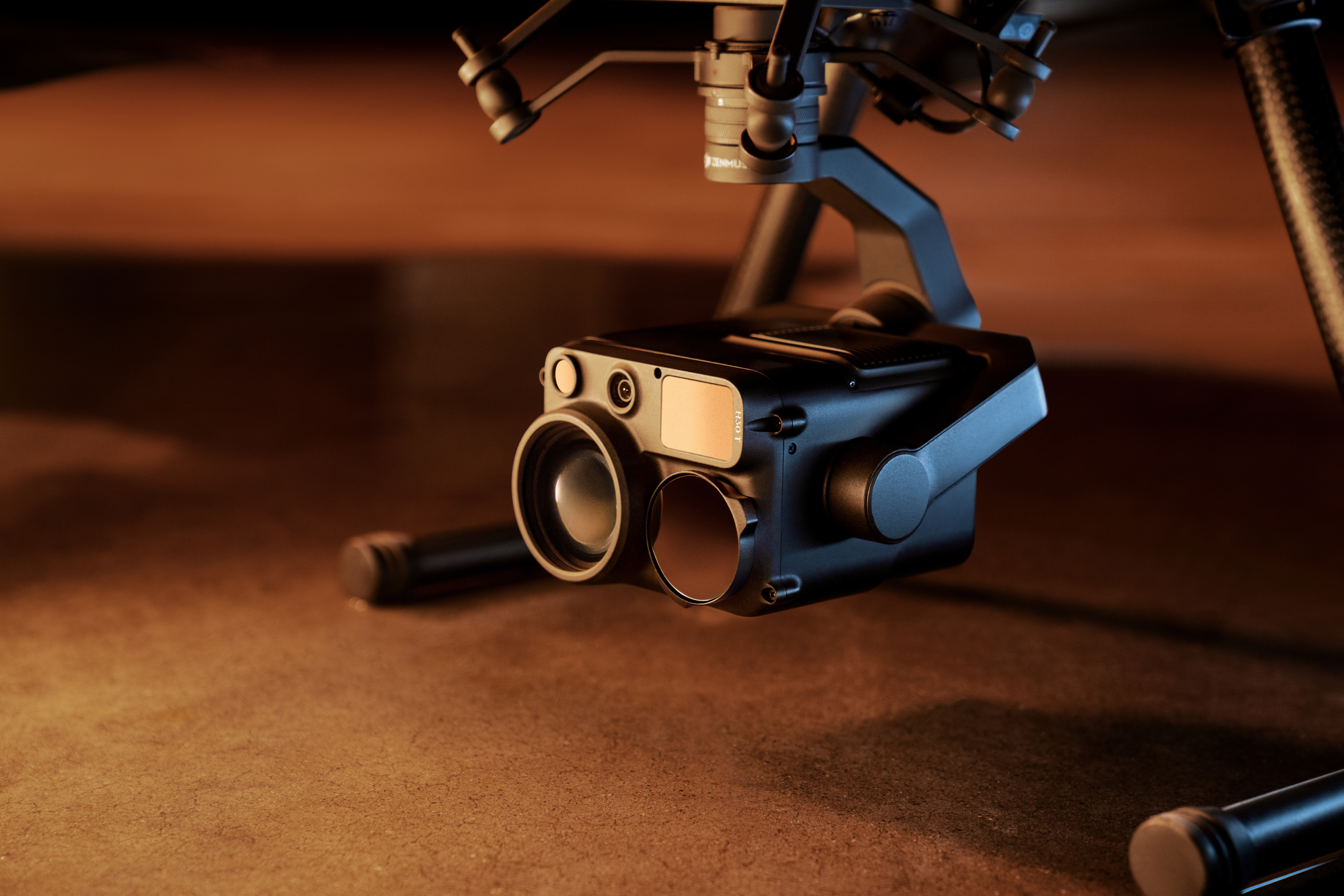
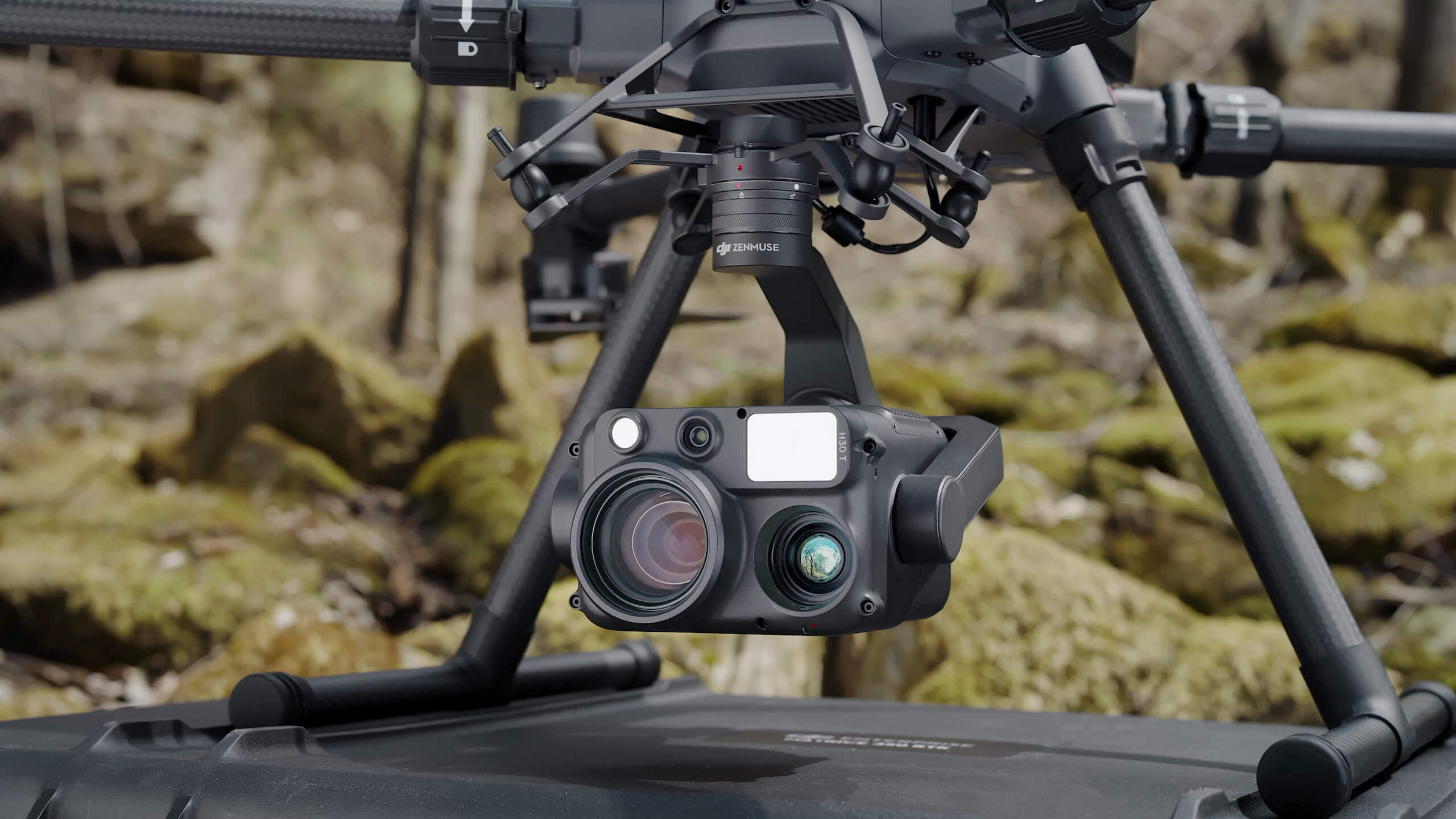
Zenmuse H30 Series: Multi-Sensor Versatility for Challenging Environments
The Zenmuse H30 Series is DJI’s flagship all-weather, multi-sensor payload, created for versatility and reliability in unpredictable conditions. It features a high-resolution 48MP wide-angle camera, a powerful zoom camera with up to 34× optical and 400× digital zoom, a thermal camera (on the H30T) for advanced insights, a laser rangefinder capable of measuring distances up to 3,000 meters, and an NIR auxiliary light for low-visibility scenes. The H30 Series is as much at home monitoring power lines as it is supporting search and rescue teams, delivering actionable data across sectors.
Best for: Public safety, energy inspections, and environmental monitoring where multiple imaging modes are a must.
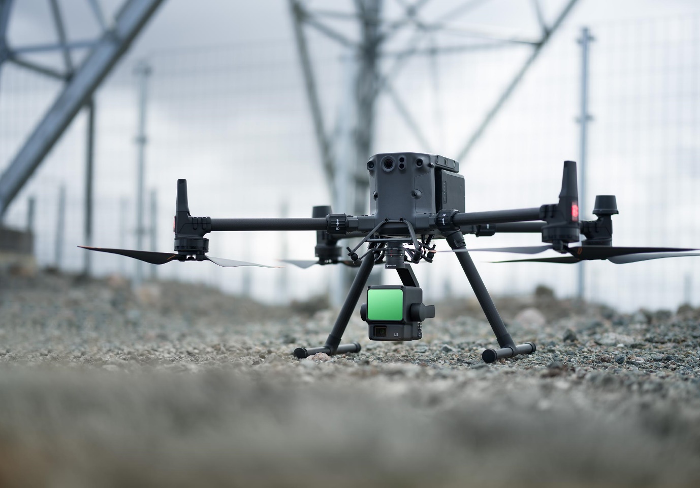
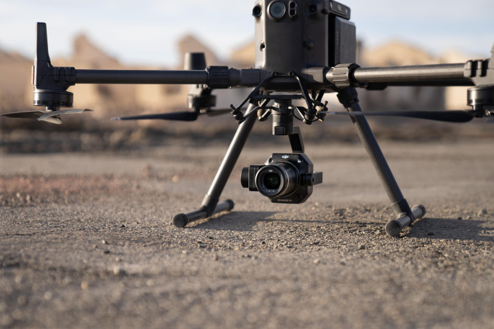
Zenmuse L2: High-Precision LiDAR for Surveying and Mapping
If your work depends on accurate 3D models and detailed topographical data , the Zenmuse L2 is a serious contender. Its LiDAR system combines a high-accuracy IMU, and a 4/3 CMOS RGB mapping camera in one unit. The L2 delivers vertical accuracy down to 4 cm and horizontal accuracy of 5 cm, can map up to 2.5 square kilometers per flight, and penetrates dense foliage thanks to a tighter laser spot and denser point clouds. With a maximum detection range of 450 meters, the L2 makes it easier to create precise maps in less time no matter how complex the terrain.
Best for: Surveyors, GIS professionals, and mapping specialists who need fast, highly accurate geospatial data.
Zenmuse H20N: Thermal Imaging and Night Vision for After-Dark Operations
The Zenmuse H20N is built for missions that don’t end when the sun goes down. It packs starlight night vision sensors in both its zoom and wide-angle cameras, plus dual thermal zoom cameras and a laser rangefinder. The thermal cameras allow for both 2× and 8× optical zoom, so you can pick out heat signatures at a distance without losing detail. With a rangefinder that works up to 1,200 meters, the H20N shines in search and rescue, perimeter security, or wildlife monitoring, especially in low-light or nighttime conditions.
Best for: Search and rescue teams, nighttime inspections, and surveillance tasks that demand both thermal and low-light imaging.
Zenmuse P1: High-Resolution Photogrammetry for Survey and Mapping
When crisp imagery and survey-grade accuracy are top priorities, the Zenmuse P1 is a reliable workhorse. This payload boasts a 45MP full-frame sensor with interchangeable fixed-focus lenses (24/35/50mm), stabilized by a 3-axis gimbal for blur-free images. It’s capable of covering up to 3 square kilometers in a single flight and can achieve accuracy levels of 3 cm horizontally and 5 cm vertically, even without ground control points. With a global mechanical shutter and a lightning-fast capture rate, the P1 is designed for efficient, large-scale mapping and modeling jobs.
Best for: Aerial mapping, photogrammetry, and survey projects that require high-resolution data and tight accuracy tolerances.
Final Thoughts: Match the Payload to Your Mission
Every project comes with its own challenges, and the right payload can help you overcome them whether you need to see through the dark, measure a landscape in 3D, or gather detailed thermal and optical imagery. DJI’s enterprise payload lineup is all about giving you the right tool for the job, so you can deliver better results, improve safety, and make decisions with confidence.
If you’re not sure which payload best fits your workflow, start by thinking about your biggest data challenges, the conditions you fly in, and the questions you need to answer. The right sensor is the one that helps you work smarter, not harder.